
Brownfield Texas Infrastructure
Highways and Truck Transport
Transportation
Surrounding Cities Distance from Brownfield
| Lubbock, Texas | 40 miles |
| Amarillo, Texas | 160 miles |
| Midland, Texas | 95 miles |
| Abilene, Texas | 175 miles |
| Dallas/Ft. Worth, Texas | 360 miles |
| Oklahoma City, Oklahoma | 385 miles |
| Albuquerque, New Mexico | 335 miles |
| El Paso, Texas | 305 miles |
| Austin, Texas | 375 miles |
| Laredo, Texs | 485 miles |
| Houston, Texas | 530 miles |
Source: Texas Department of Transportation
State Highways
U.S. Highway 385 South leads to Andrews, Odessa, Ft. Stockton 1-10; 385 North leads to Levelland, Vega I-40, Colorado
U.S. Highway 380 East leads to Haskell, Decatur, Denton; 380 West leads to Roswell (NM), San Antonio (NM) 1-25
U.S. Highway 62/82 North leads to Lubbock, 62 North to Childress, 82 East to Wichita Falls; 62 South leads to El Paso, 82 West leads to Artesia (NM)
Highway 137 South leads to Stanton 1-20, Ozona 1-10, Highway 163 to Highway 90 at Del Rio

Truck Transportation
Most of the nation's top carriers as well as many independents serve Brownfield. Some of those are: Tex-Pac, Central Freight Lines, Merchants Motor Freight, UPS, TNM&O Freight Lines, Fed-Ex, and DHL.

Rail Lines

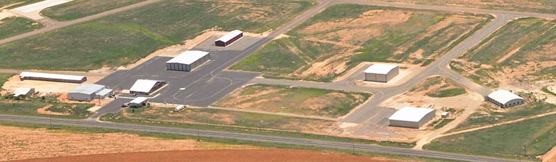
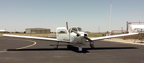
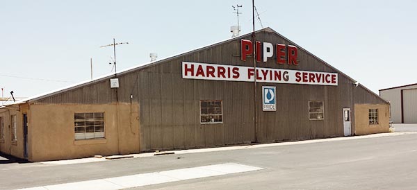
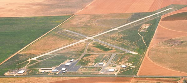
Airport

Utilities
Security & Medical
